
Courtesy of Landscape News
Written by: Augusta Dwyer
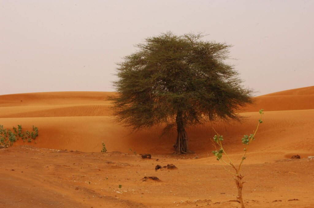
An international team of scientists has found an abundance of trees – more than 1.8 billion – in an area of West Africa that has received less attention for its foliage than for its lack thereof.
The National Aeronautics and Space Administration (NASA), the University of Copenhagen’s Department of Geosciences and Natural Resource Management, and other partners carried out the ground-breaking study, which was published in Nature.
Their analysis, described as a proof-of-concept by Compton Tucker, senior biospheric scientist in the Earth Sciences Division at NASA’s Goddard Space Center, found trees in increasing numbers along a rainfall gradient: 0.7 trees per hectare in very arid areas, 9.9 trees per hectare in arid areas, more than 30 per hectare in semi-arid areas and 47 per hectare in sub-humid areas.
“Although the overall canopy cover is low,” the study states, “the relatively high density of isolated trees challenges prevailing narratives about dryland desertification, and even the desert shows a surprisingly high tree density.”
Until relatively recently, earth observation satellites have been capable of mapping forest landscapes with large amounts of canopy cover. But when it comes to arid and semi-arid lands like the Sahara and Sahel, says Martin Brandt, an assistant professor of geography at the University of Copenhagen and lead author of the paper, satellite imagery “shows pictures that are just a kind of a white spot on maps.”
Over the past couple of decades, however, commercial satellite technology has advanced to collect data at higher spatial resolutions, producing clear images of land as small as one square meter or less.
“With this kind of technique, you can basically map every tree,” says Brandt, including individual trees outside of forests, as well as measure their crown size.
“I always knew there were a lot of trees growing there,” adds Brandt, who has traveled to the study area in the past. “I was always searching for a way to view these trees growing, and that opportunity came with having access to this data.”
The research team used 50,000 commercial satellite images from Colorado-based DigitalGlobe, covering some 1.3 million square kilometers of terrain in Senegal, Mauritania and Mali. Machine learning, specially coded by Ankit Kariryaa and Johannes Schönin from Germany’s University of Bremen, was used to organize the images.
Brandt subsequently spent a year manually marking nearly 90,000 individual trees across different terrains, using a process called fully convolutional neural network, or deep learning, to train the algorithm to distinguish trees as opposed to other objects on the ground like rocks or huts.
“Then,” says Tucker, “someone had to get a hell of a lot of computing time. And the people at Bluewaters, the big supercomputer at the University of Illinois, came to me and said, ‘Hey, we hear you’re trying to count trees. We like what you’re doing, and we’ll give you all the computer time you can burn.’”
For Terry Sunderland, a professor at the University of British Columbia and senior scientist at the Centre for International Forestry Research (CIFOR), the study’s findings are “fantastic news.”
“The first thing that comes out is the adaption potential for various tree-based systems,” he says. “People rely on a lot of those trees for ecosystem services, as the authors highlight, but also for direct provisioning services for food and fodder. So I think there’s a huge impact.”
Sunderland also notes that many of the Sahel’s native trees are from the Leguminosae families, which can fix nitrogen from the atmosphere and transfer it to the soil. “They are great for improving soil fertility,” he says. “Many are also fantastic for fodder. In livestock grazing systems that are prevalent in the Sahel, you wouldn’t be able to have that without these trees.”
In terms of supporting livelihoods, he points to the shea tree as a valuable example – Vitellaria paradoxa, which produces nuts for shea butter, a widely traded and exported product. There is also, he says, “a strong gender component in that a lot of women and children tend to do the processing of that product.”
Another valuable dryland tree is the African locust bean, Parkia biglobosa, or néré, the pods of which are used as a spice. Because the trees attract birds, they also help control pests such as the fall armyworm, which feasts on maize crops.
“So you have these complex systems of the Parkia that provides a canopy,” he says, “and the shea trees underneath, as multi-layer systems of agroforestry that are extremely important for local people.”
As conservationists hope to enhance tree cover globally, the fact that such a large number of trees can be found in such an inhospitable region shows that they are being cared for and propagated, he suggests. “I think this paper really enforces the fact that local people are the best restorers of landscapes that we have.”
Meanwhile, the research team’s analysis method can be applied to other parts of the world, says Tucker. “We would like to do it for all the dryland areas, all of Australia, maybe parts of central Asia, eastern Africa, southern Africa, and then the Chihuahua-Sonora desert area (in northern Mexico).”
In conjunction with their growing body of research, Tucker’s team is also developing a web application, or viewer, that allows anyone interested to zoom in on each tree, click on it and learn valuable information about its location, crown size and carbon stock. “The world’s arid and semi-arid areas are so expansive,” says Tucker, “that if there are some simple things we can do to plant more trees there, this would be a positive solution.”
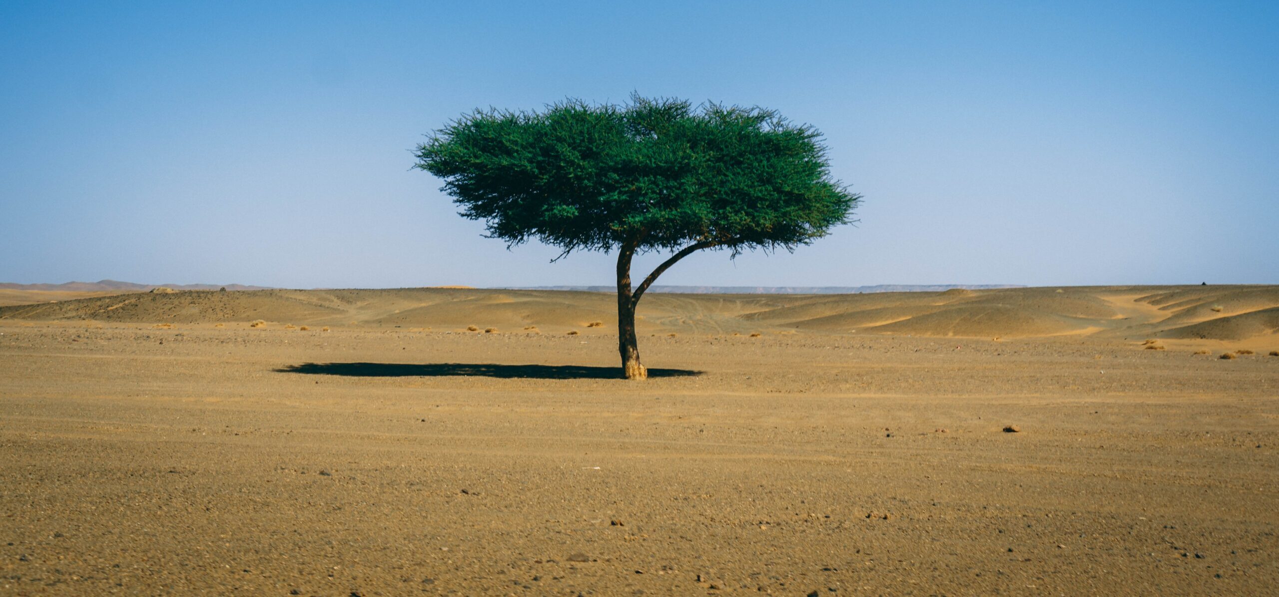
Header Image Credit: Andrew Slifkin/Unsplash


