
Written by: Samantha Harrington
It’s officially hurricane season in the Atlantic Ocean, and it’s expected to be an active one. In a webinar on Friday, June 3, Eye on the Storm meterologists Jeff Masters and Bob Henson presented a preview of the 2022 Atlantic hurricane season. Here’s what we learned:
- The Atlantic is expected to have an active hurricane season this year. Colorado State University scientists predict 20 named storms and 10 hurricanes, including five major hurricanes. NOAA’s forecast calls for slightly fewer storms but still puts the odds of an above-average Atlantic hurricane season at 65 percent. The waters of the Gulf of Mexico are warm, which means storms there will have plenty of fuel.
- Peak Atlantic hurricane season occurs in September because wind shear is typically at its lowest at that time of year, while water temperatures are at their highest and the west African monsoon, which causes tropical waves to form off the coast of Africa, is most active.
- At-risk locations are difficult to predict this early in the season. The position of the Bermuda High influences tropical storm steering currents, and meteorologists can’t accurately forecast the position of the high more than two weeks in advance. But conditions in the Atlantic are similar to those in 2021, which may suggest a slightly higher risk for the Gulf Coast than other locations.
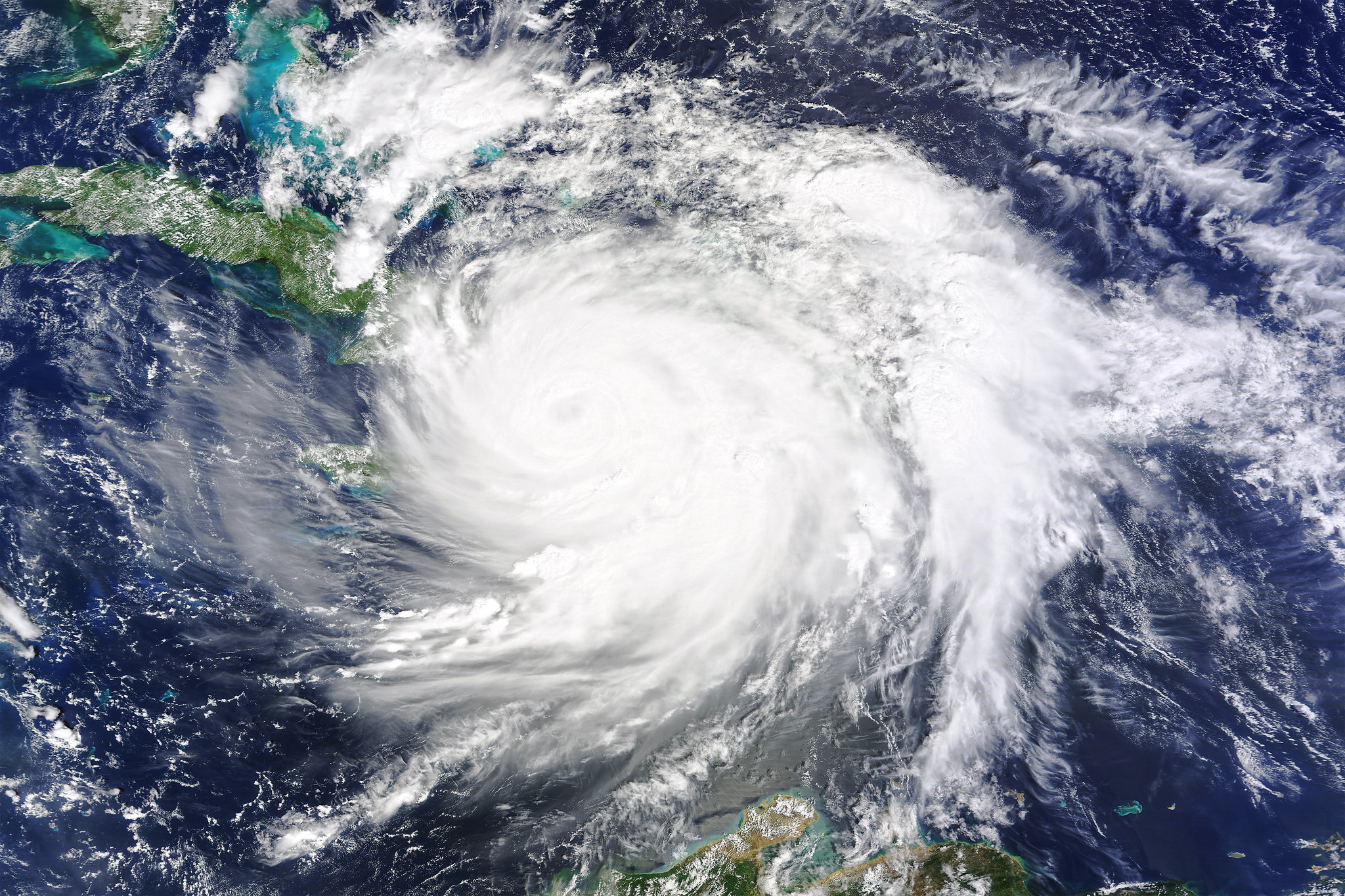
- Rapid intensification risks are increasing. Rapid intensification is defined as when the maximum sustained winds of a storm increase by at least 30 knots (35mph; 55km/h) in just 24 hours. Deep warm water in the Gulf of Mexico sets the stage for rapid intensification of tropical cyclones. The good news is that forecasts for rapid intensification are getting better. The rapid intensification of Hurricane Ida was predicted well in advance of landfall last year.
- The best forecast to watch is the official one from the National Hurricane Center. During the 2021 season, the National Hurricane Forecast outperformed all of the top models at all time periods. Models are improving their ability to predict rapid intensification, but may be at their upper limit for predicting storm tracks, which have gotten very accurate.
- Climate change is affecting hurricanes, but there’s still a lot to learn. A larger proportion of hurricanes are getting more intense, and even as storms move inland, they are staying stronger longer than they did in the past. And we can expect to start seeing more “homegrown hurricanes” developing off the East Coast – like 2021’s Tropical Storm Henri – rather than arising from disturbances off the coast of western Africa.
You can watch the whole webinar at the top of this post. Get updates about this season’s storms in your email inbox by signing up here.
Header Image Credit: NASA Goddard Space Flight Center/Flickr (CC BY 2.0)
This article originally appeared on Yale Climate Connections


