Written by: John C. Cannon
A new app aimed at tracking forest fires in Bolivia could shake up the way authorities and firefighters battle fires, allowing them to pinpoint their locations more accurately and safely.
Called “Amazon Fires — Bolivia,” the application pulls in data on the pollutant particles that get trapped in the air above a fire from a sensor on the European Space Agency’s Sentinel-5 satellite. By combining that “aerosol” data with recent satellite images using Google Earth Engine, app users can plot out the locations of fires in “near real time.” Researchers from the Monitoring of the Andean Amazon Project, or MAAP, which is run by the Amazon Conservation Association, created the app and published a description on Sept. 25.
Typically, authorities use differences in temperatures measured by satellites to locate fires. But ecologist Matt Finer, director of MAAP and one of the app’s developers, said this method often entails filtering through “a thousand red dots” with a lot of noise that may or may not indicate a fire that’s currently active.
“At the same time, we discovered this new tool that’s just blowing our minds, which is this new [aerosol] data from the European Space Agency,” Finer said.
The Sentinel-5 satellite’s Tropomi sensor uses the behavior of ultraviolet light in the atmosphere to detect the emissions of pollutants from fires, volcanic eruptions and swirling dust, helping scientists forecast possible public health problems related to air quality.
But this new application has the potential to help firefighters react much more quickly — which is critical when natural forests are burning, Finer said.
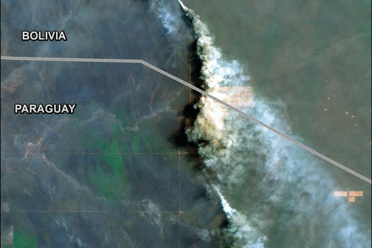
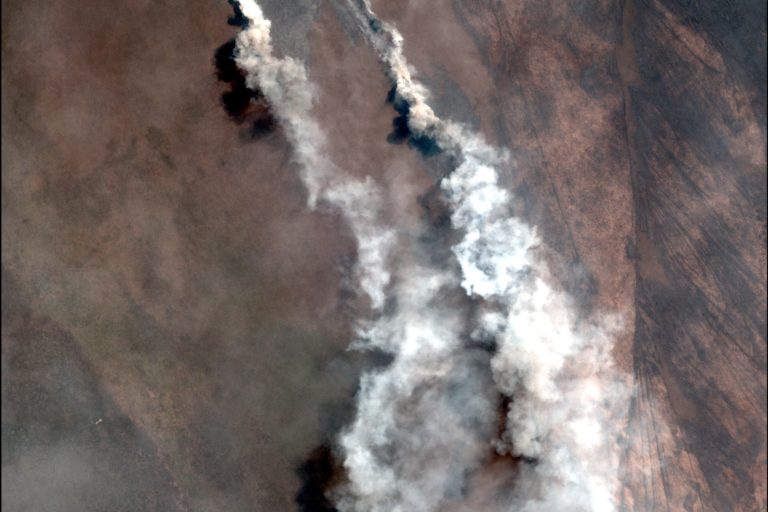
More than 41,000 square kilometers (15,800 square miles) of land have burned in Bolivia in 2019, according to the NGO Friends of Nature Foundation. Thousands of hectares of standing dry forest in Bolivia’s Chiquitanía and Chaco regions have gone up in smoke this year, Finer said. (In contrast, Finer and his colleagues demonstrated that many of the fires that have thrust the Brazilian Amazon into the news recently have occurred taken place on previously deforested land.)
In Bolivia, “There arose this need to get information to firefighters and government officials of where the active fires are,” he said, “because you do have these scenarios of fires raging through natural ecosystems.”
The app allows users to drag a virtual curtain of the aerosol data over recent satellite imagery. A color gradient from the lowest (black) to the highest (red) aerosol levels indicates the intensity of the emissions in a particular area.
Lucio Villa of the NGO Conservación Amazónica in Peru, who led the app’s design, said they used the traditional fire alerts to test how well the aerosol data allowed them to zero in on the largest and most persistent fires. They found that the aerosol data allows more accurate, real-time monitoring. What’s more, clouds don’t interfere with the calculations behind the UV aerosol index.
“You can see in an instant that there are major fires,” Finer said, calling the application a “major advance.”
Marcos Terán, executive director of Conservación Amazónica, said he had shared this new tool with park managers in Bolivia.
“They are noticing the importance of this kind of tool to try to move the park rangers and the other stakeholders in the area to fight the fire in an effective way,” Terán stated, both to save forests and the people in charge of protecting them.
“The firefighters are really heroes in this case,” Terán said, “and we try to support with some tools … to improve the safety.”
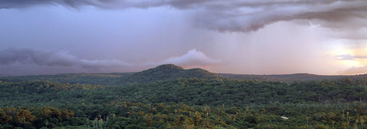
Header Image Credit: Chaco in Bolivia by Rhett A. Butler/Mongabay
This article originally appeared on Mongabay.


